This blog has been written by a member of the Newground Flood Team.
There are occasions when communities are affected by flash flooding due to very localised and intense rainfall. This unpredictable nature of flash flooding events can lead to devastating consequences.
It is important to remember that although you may not live or work in a flood risk zone for main rivers, you may be affected by flooding from other sources, which can be difficult to predict. Flash flooding can occur when hard dry land increases the rate of surface water runoff and local drainage systems and networks become overwhelmed. As this is not always related to rivers, or if the location affected is not in a flood risk zone, flooding conditions are not monitored by the Environment Agency’s Flood Warning Service, which can mean these communities would not receive flood alerts or warnings leaving no, or little time to prepare.
Instead of the using the Environment Agency’s Flood Alert and Warning Service as a trigger, the Met Office Weather Warning Service and local river monitoring stations can provide some forewarning regarding potential flash flooding. Unfortunately, not all areas have river level monitoring stations, and so high abnormalities in river levels could go unnoticed meaning even less chance of residents having warning of a flash flood event. This can be a particular issue for narrow-channelled watercourses, where high levels of localised rainfall can mean they react quickly and become overwhelmed.
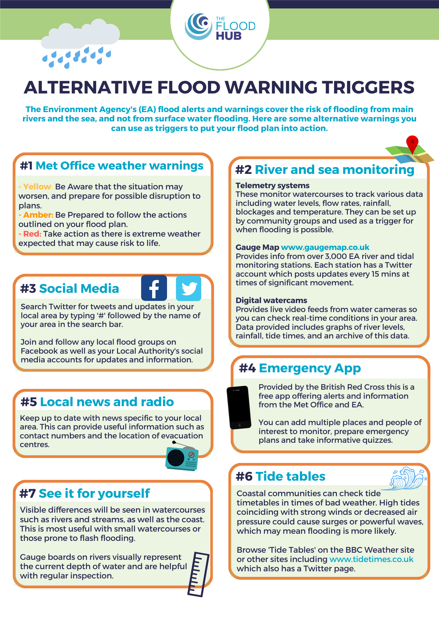
The Met Office Weather Warning Service can provide warning up to seven days ahead for wind, snow, lightening, ice, extreme heat, fog, rain and thunderstorms, the latter two being the trigger for flash flooding. The Met Office may issue a yellow, amber, or red weather warning depending on the expected severity of the event and its impacts. Unfortunately, the weather warning can cover a large area of a region which means they are unable to identify specific areas who may experience flash flooding.
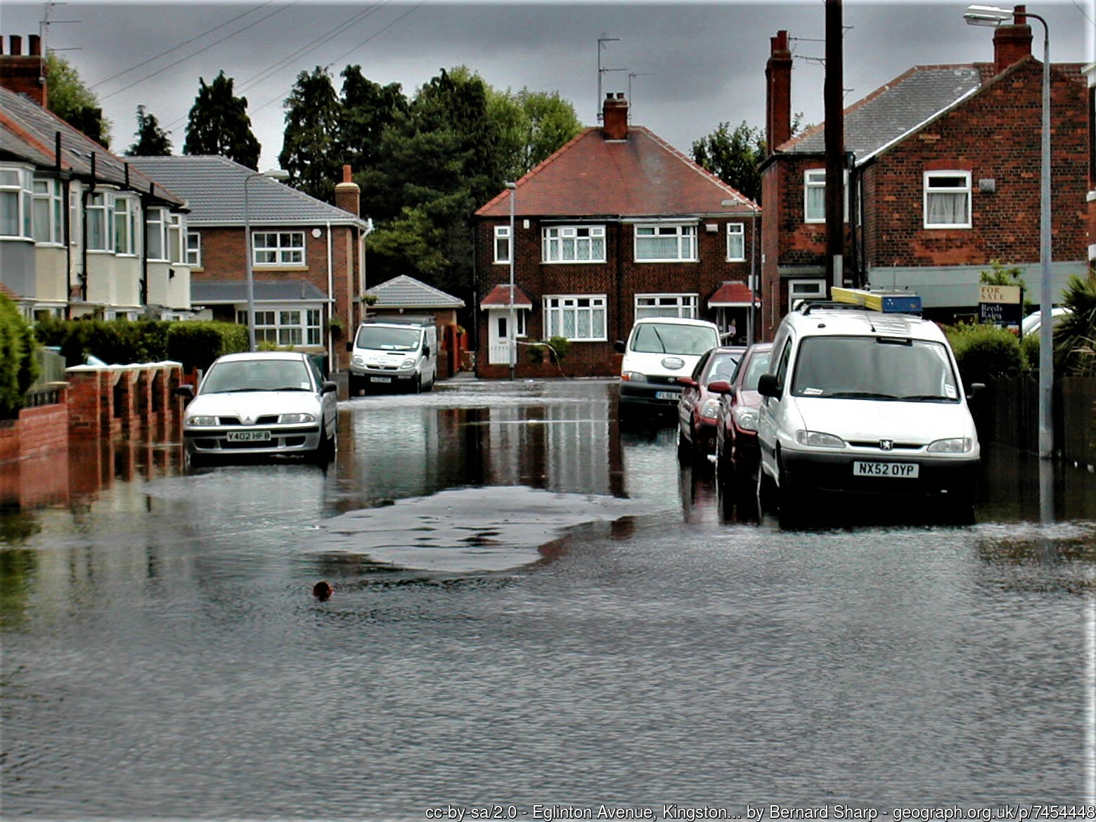
Image: Eglinton Avenue, Kingston upon Hull cc-by-sa/2.0 – © Bernard Sharp – geograph.org.uk/p/7454448
Here are some examples of flash flooding events which have occurred across England:
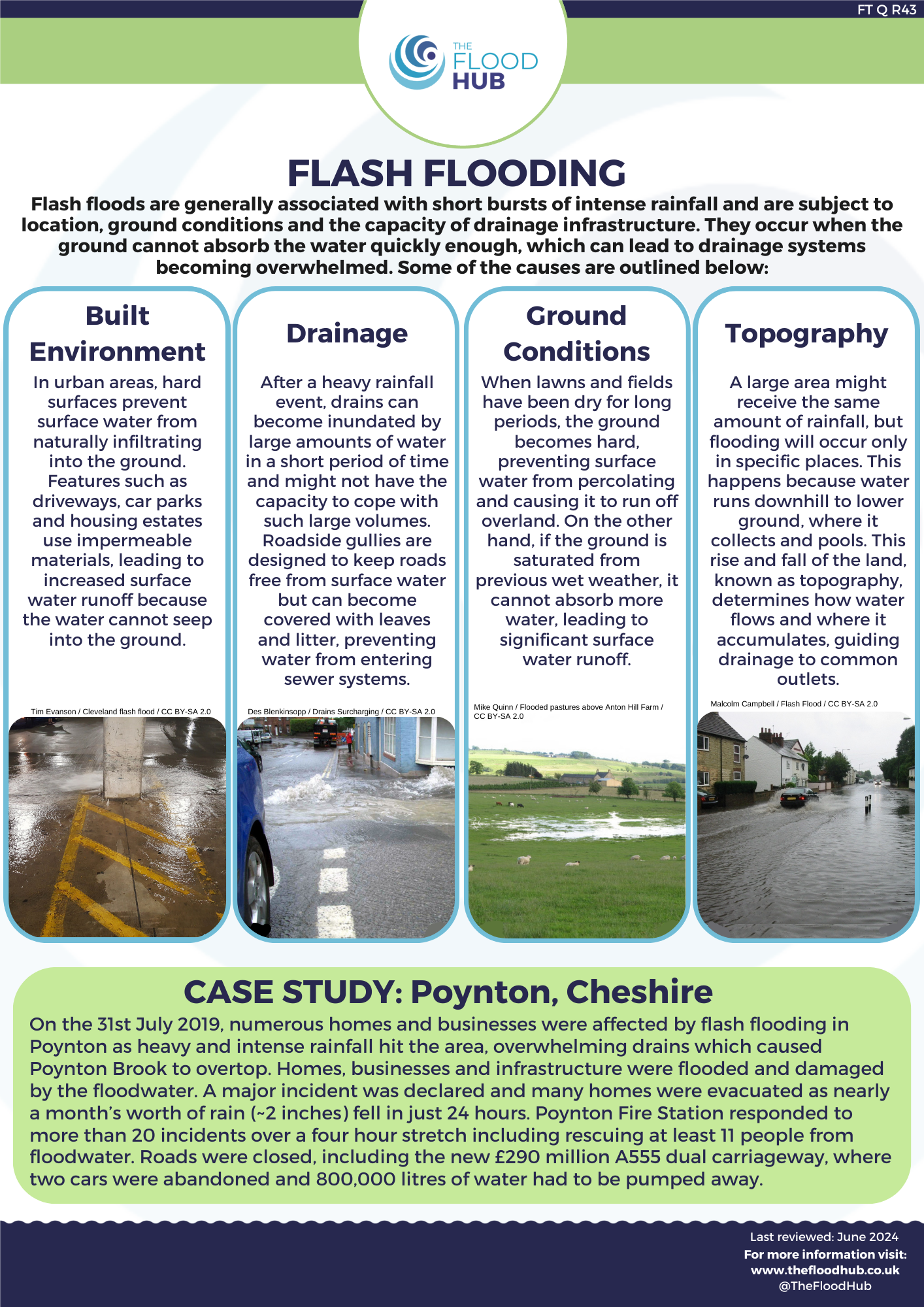
Poynton, Cheshire
In July 2019, heavy and intense rainfall hit the area, overwhelming drains which caused Poynton Brook to overtop. Homes, businesses, and infrastructure were flooded and damaged. A major incident was declared, and many homes were evacuated as nearly a month’s worth of rain (~2 inches) fell in just 24 hours. Poynton Fire Station responded to more than 20 incidents over a 4-hour stretch including rescuing at least 11 people from flood water.
North Yorkshire
In July 2019, North Yorkshire was badly affected by flash flooding, with a month’s worth of rain falling in just 4 hours. Damage to homes and businesses was widespread, with reports of pets and livestock drowning as a result. The floodwater also impacted local infrastructure, leading to the collapse of Grinton Moor Bridge and the road becoming completely impassable.
Galgate, Lancashire
The village of Galgate in Lancaster was badly affected by torrential rain that swept through the North West in November 2017, causing the River Conder to breach it banks and flood around 100 homes. The rain level was the highest recorded in more than 50 years at the Hazelrigg, Lancaster University weather monitoring station, with 73.6mm falling in 24 hours. Despite neighbouring Lancaster being hit badly by flooding during Storm Desmond in 2015, for most residents the November 2017 flooding event was the first in living memory.
Millom, Cumbria
The flood that took place in Millom in 2017 came as a shock to all residents, as the town had never experienced such an event before. Heavy and localised rainfall hit the town of Millom in South West Cumbria on 30th September causing surface water flooding that affected over 1,000 residents in 317 properties. The town was isolated by the incident due to having only one road in and one road out. However, the community came together to address the issue and are now more prepared and working towards a community resilience plan.
Coverack, Cornwall
In July 2017, the coastal village of Coverack in Cornwall was subject to localised thunderstorms followed by sudden, heavy rainfall, causing flash flooding that affected round 50 properties. The intense weather had such an effect due to rapid rainwater runoff into the village from higher ground, which caused drains and becks to be inundated with water, resulting in surface water flooding. Streams were turned into torrents as surface water cascaded down the hill side on which Coverack is situated.
Boscastle, Cornwall
One well known example of a flash flood event occurring in summer is that of Boscastle, Cornwall, in August of 2004 when 58 properties flooded after an unusually high amount of rainfall fell over eight hours. A small, steep river flows through the village and heavy, thundery showers occurred at the head of the river. The river and hillside was unable to contain the excess water which gushed down the valley and into the village having devastating consequences.
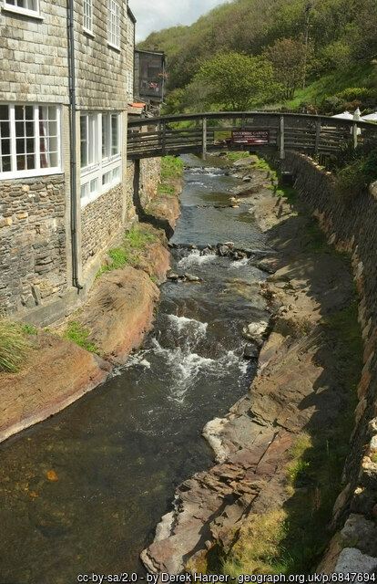
River Valency, Boscastle cc-by-sa/2.0 – © Derek Harper – geograph.org.uk/p/6847694
These are clear examples of why it is important for all properties to consider having a flood plan or an emergency plan in place. They show that such a localised weather event can have a large effect and it is not just people in flood risk areas that could be affected.
As shown above, flash flooding is not seasonal and can occur at any time of year. A common misconception is that flooding only occurs in winter, this is not the case and it can even happen in the drier, warmer conditions of summer. During summer, the amount of evaporation from the ground is larger than the amount of rainfall, this can lead to a water deficit in the ground. As a result, the ground can become harder, more compacted and drier and it becomes more difficult for water to infiltrate and percolate through the soil, leading to increased runoff and a greater chance of flooding.
Certain locations can also have an increased chance of flash flooding occurring due to the size and shape of the river basin. Larger river basins can collect more rainwater and a rounded basin means water can percolate and flow at the same time, increasing the amount of water reaching the river channel and increasing discharge. Additionally, urban areas made up of impermeable surfaces and reduced green space can have a greater risk of flash flooding. Surface water can rapidly run off hard surfaces with limited areas for infiltration into the ground to occur.
Sources: JBA Risk Management, Met Office, .GOV.UK


