The Environment Agency is delivering a proposed Flood Risk Management Scheme to better protect homes, businesses and communities from flooding across the Kent catchment, while improving the local environment and community amenities.
Kendal Town is the first area to be delivered, with the upstream communities of Burneside, Staveley and Ings, including flood storage, forming later stages of the scheme. In addition, Natural Flood Management measures are being integrated into the plans which help slow the flow of water, store water in the landscape, improve habitats and biodiversity, whilst providing wider environmental benefits across the catchment.
Please scroll down for further information.
These Key Facts documents give you a quick and informative overview of the features and benefits that the Upper Kent flood scheme will provide, along with key dates. Click to download.
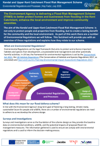
The Kendal and Upper Kent Catchment Flood Risk Management Scheme is subject to a
Habitat Regulation Assessment (HRA) due the likely impact of the scheme on sites of
European importance. This factsheet will provide you with a snapshot of the Habitat
Regulations Assessment process.
The Environment Agency adheres to a number of Environmental Regulations and processes as the Kendal and Upper Kent Catchment Flood Risk Management Scheme progresses. This fact sheet provides an overview of these regulations and explains how they relate to our scheme.
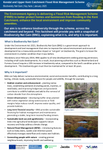
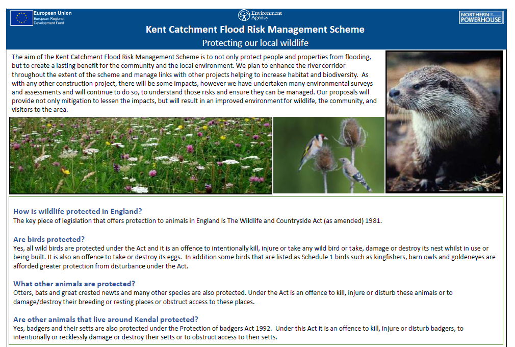
The aim of the Kent Catchment Flood Risk Management Scheme is to not only protect people and properties from flooding, but to create a lasting benefit for the community and the local environment. The Environment Agency plan to enhance the river corridor throughout the extent of the scheme and manage links with other projects helping to increase habitat and biodiversity. Find out more in this document.
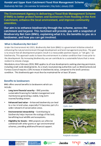
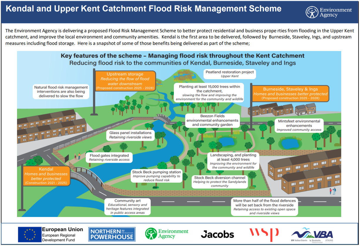 Here is a snapshot of some of the benefits being delivered as part of the Kent Catchment Flood Risk Management Scheme.


