Here you can find information on completed coastal schemes in the North West that are included on our Local Area Map, including links to further information.

Image: The Environment Agency
Anchorsholme Coast Protection Scheme
Status: Complete
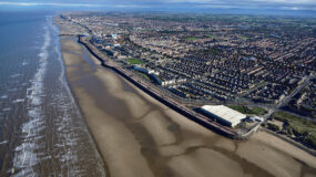
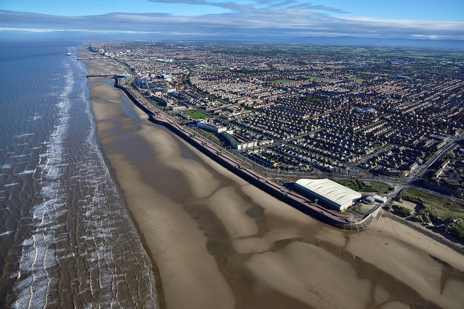
Overview: This scheme is a part of the Fylde Penisula Coastal programme which is a partnership between the Environment Agency and Wyre, Blackpool and Fylde Councils. The scheme aimed to help reduce the flood risk to 4800 properties in the area, as well as protecting local businesses and tourist attractions by building a 1km stretch of new sea wall to replace the old one.
More information:
Fairhaven and Church Scar Coast Protection Scheme
Status: Complete
Overview: The scheme was completed ahead of schedule in July 2020 by VBA, a joint venture between VolkerStevin, Boskalis Westminster and Atkins. It will protect 2,400 residential properties from coastal erosion and flooding through reducing the impact of extreme weather and climate change. The scheme involved replacing old sea defence walls and raising the defences to withstand a 1-in-200 year storm event whilst having a lifespan of 100 years.
Hesketh Out Marsh East
Status: Complete
Overview: The aim of this scheme was to reduce the risk of flooding to over 140 properties and farmland on the south side of the Ribble Estuary without increasing flood risk elsewhere. This was done by strengthening and refurbishing 2km of flood embankments and recreating a salt marsh in front of it as part of managed realignment.
More information:
Morecambe Wave Reflection Wall Phase 1, Bare to Lord Street
Status: Complete
Overview: This project was part of a larger scale project led by Lancaster City Council that is made up of three phases to protect people and 12,000 homes and businesses from coastal flooding and erosion through upgrading 4km of sea defence wall. This phase involved constructing 1.8km of new sea wall to replace the existing damaged on, over time, the old sea wall was affected by alkali silica reaction (ASR). VBA Joint Venture Ltd, carried out the work, they are a group of environmental engineers and design consultants from Atkins, Boskalis and Volkerstevin.
More Information:
Morecambe Wave Reflection Wall Phase 2 between the Midland Hotel and the Battery
Status: Complete
Overview: This project is part of a larger scale project led by Lancaster City Council, that is made up of three phases to protect people and 12,000 homes and businesses from coastal flooding and erosion through upgrading 4km of sea defence wall. Phase two involved replacing the sea wall between Central Drive and Regent Road with precast concrete units, similar to Phase 1 of the project, except the wall has a wave return curved profile. The wall between Regent Road and the Battery alongside the West End Gardens has been refurbished, this will be similar to phase 3 of the project. Furthermore, there is completion of hard and soft landscaping to provide amenity. VBA Joint Venture Ltd, carried out the work, they are a group of environmental engineers and design consultants from Atkins, Boskalis and Volkerstevin.
Morecambe Wave Reflection Wall Phase 3, Sandylands Promenade between the Battery and the Oakley.
Status: Complete
Overview: This project is part of a larger scale project led by Lancaster City Council, that is made up of three phases to protect people and 12,000 homes and businesses from coastal flooding and erosion through upgrading 4km of sea defence wall. A stretch of the wall has been refurbished in a six stage process to expose seals and repair cracks on the existing wall units. The refurbishment has a rendered and painted finish which will extend the life of the wall and ensure that the existing flood protection levels are kept. VBA Joint Venture Ltd, carried out the work, they are a group of environmental engineers and design consultants from Atkins, Boskalis and Volkerstevin.
Rossall Coastal Defence Improvement Scheme
Status: Complete
Overview: The scheme was led by Wyre Council in partnership with the Environment Agency and the main contractor was Balfour Beatty. The aim of the scheme was to reduce the risk of coastal flooding to around 7500 properties, the towns tramway, hospitals and schools.
2km of sea defences were constructed along the coast which are designed to last for the next 100 years and include a curved sea wall, rock revetments, rock groynes, cross over ramps and steps through the revetment, to allow access to the beach. The scheme has also taken into account the effects of climate change and changes in sea level and weather patterns. Additional features of the scheme include a new ecology park on the landward side of the defence and the creation of a lagoon to act as extra flood water storage from spray that has overtopped the sea wall.
More Information:
Starr Hills Sand Dunes Environmental Work
Status: Complete
Overview: The scheme was led by Fylde Council in partnership with Blackpool Council and the Lancashire Wildlife Trust with funding from the Environment Agency. The aim of the scheme was to improve the sand dunes and salt marshes as a soft sea defence and to improve habitats and conservation. The dunes were stabilised through a variety of methods, for example, by building fences seawards of the dunes to prevent trampling and allowing them to grow. Christmas trees have also been planted to improve sand accretion and to protect vegetation.
More information:
Wallasey Embankment Toe Reinforcement Works
Status: Complete
Overview: The Wallasey Embankment is a 3.5km long sloping sea wall and promenade that provides flood and erosion protection to large parts of the North Wirral hinterland, specifically large parts of Leasowe, Moreton and Meols. The scope of the work included excavating approximately 3,800 cubic metres of existing beach (sand and gravel) deposits, placement of approximately 8,500 square metres (sq m) of geotextile sandmat; and importing and placement of approximately 7,000 tonnes of 60-300kg rock armour.
More Information:
West Kirby Flood Alleviation Scheme
Status: Complete
Overview: The West Kirby Flood Alleviation Scheme is being led by Wirral Council and aims to protect West Kirby from tidal flooding. In order to do this, a new 1.2m high pre-cast concrete flood wall with integrated seating has been built along South Parade.
More information:
Wyre Beach Management Scheme
Status: In Progress: Under construction (November 2023)
Overview: This scheme is a part of the Wyre Core Area Coastal Strategy. The scheme aims to help reduce the flood risk to 11,000 properties in the area, as well as protecting local businesses and tourist attractions by stabilising beach levels through the construction of rock headland groynes and protection against sea wall failure during storm events by the installation of rock revetments.
More information:


