Information on this page has been provided by Wirral Council and was correct at the time of upload. The Flood Hub is not responsible for any information held on this page.
This scheme was substantially completed on 18th August 2023 and Wirral’s Mayor, Cllr Jeff Green, unveiled a plaque to formally acknowledge the construction of the new flood defence wall in West Kirby on the 11th May 2023.
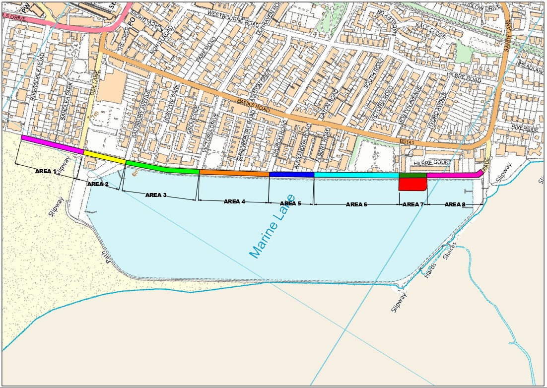
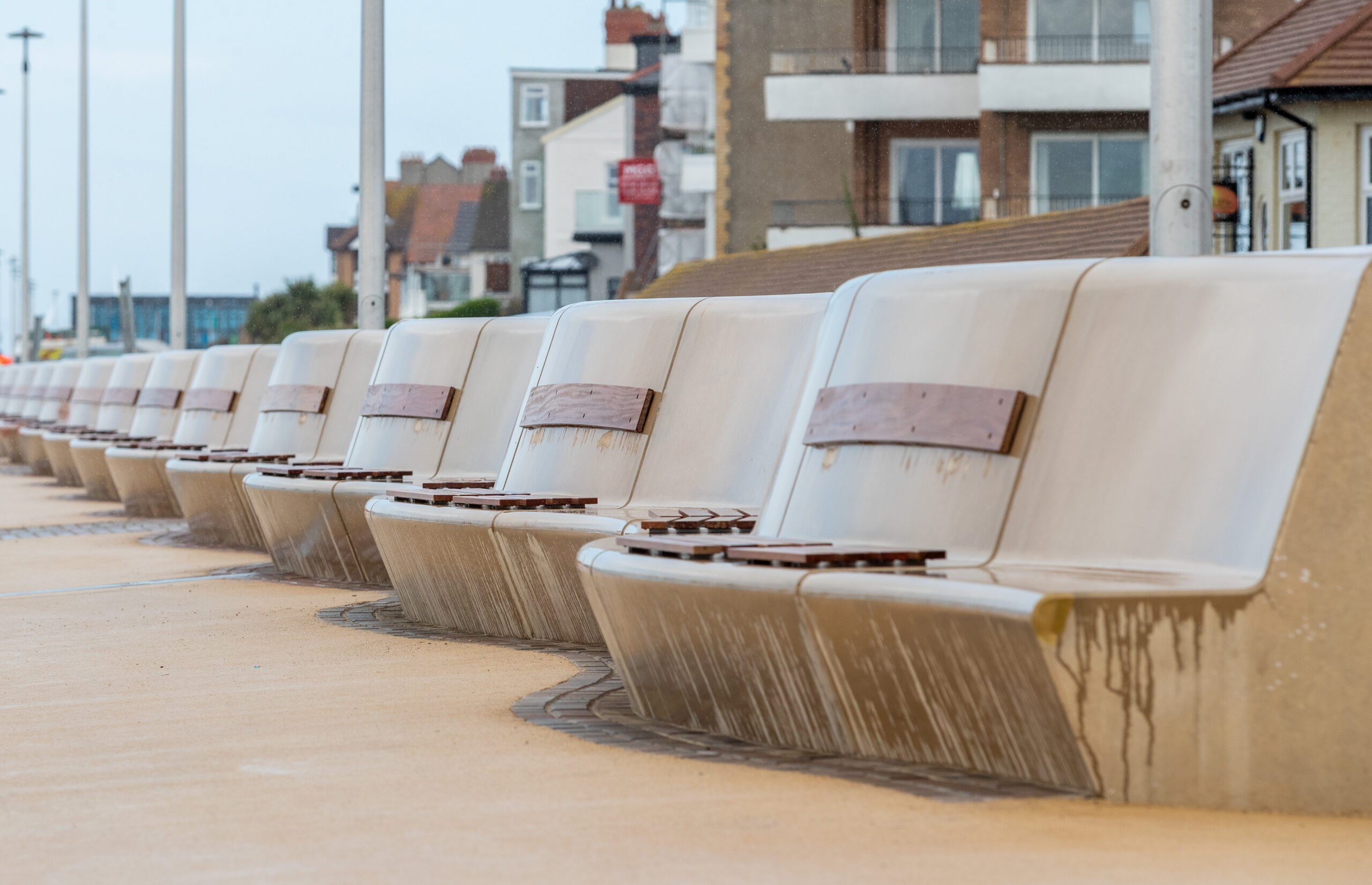
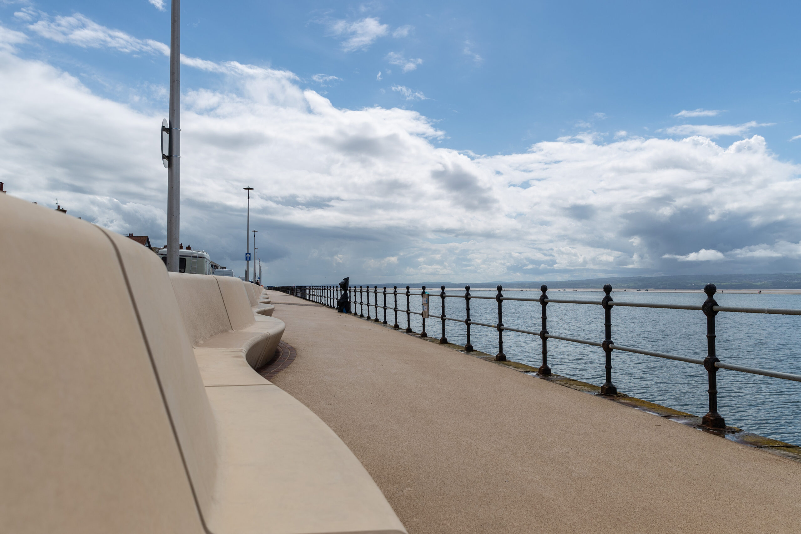
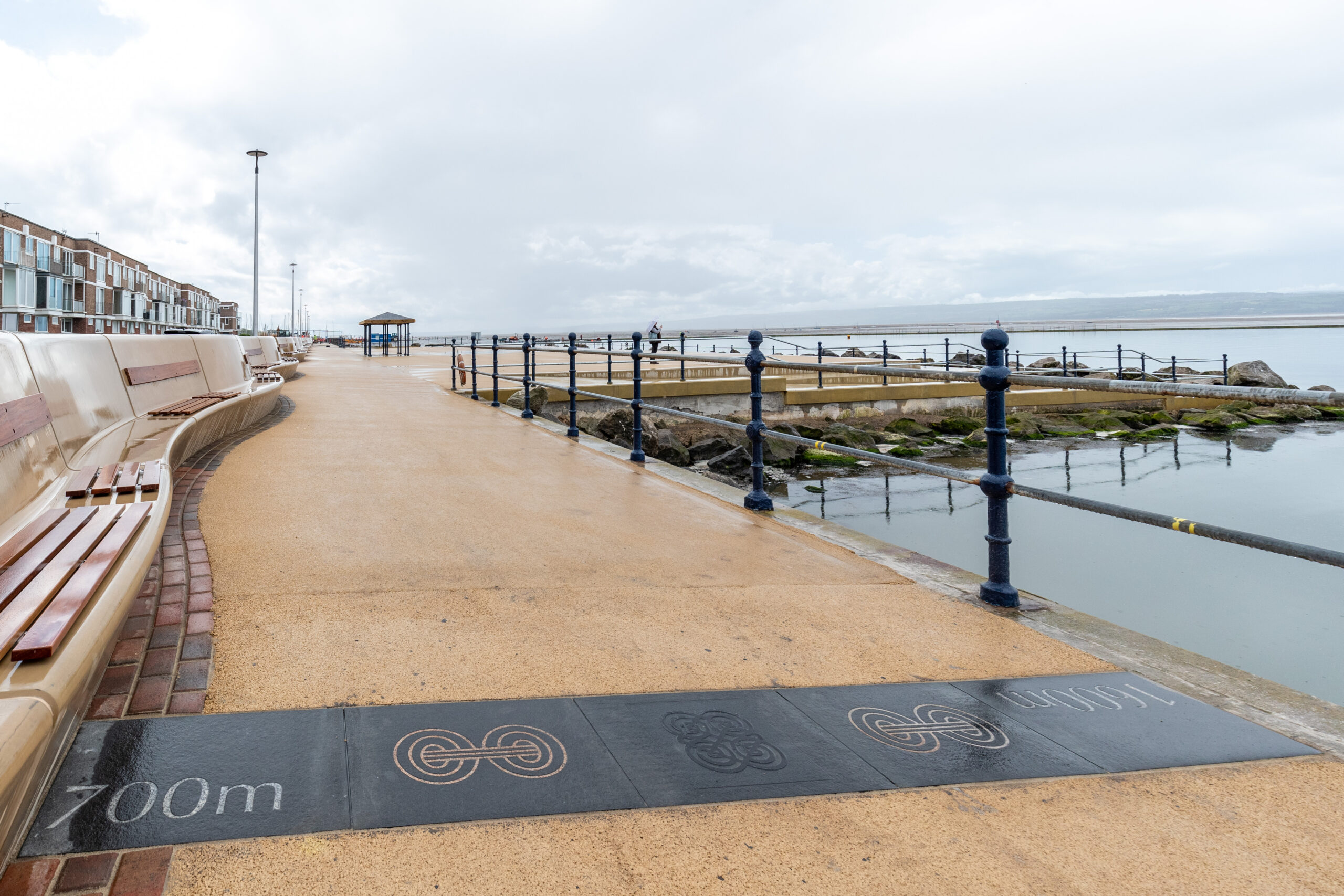
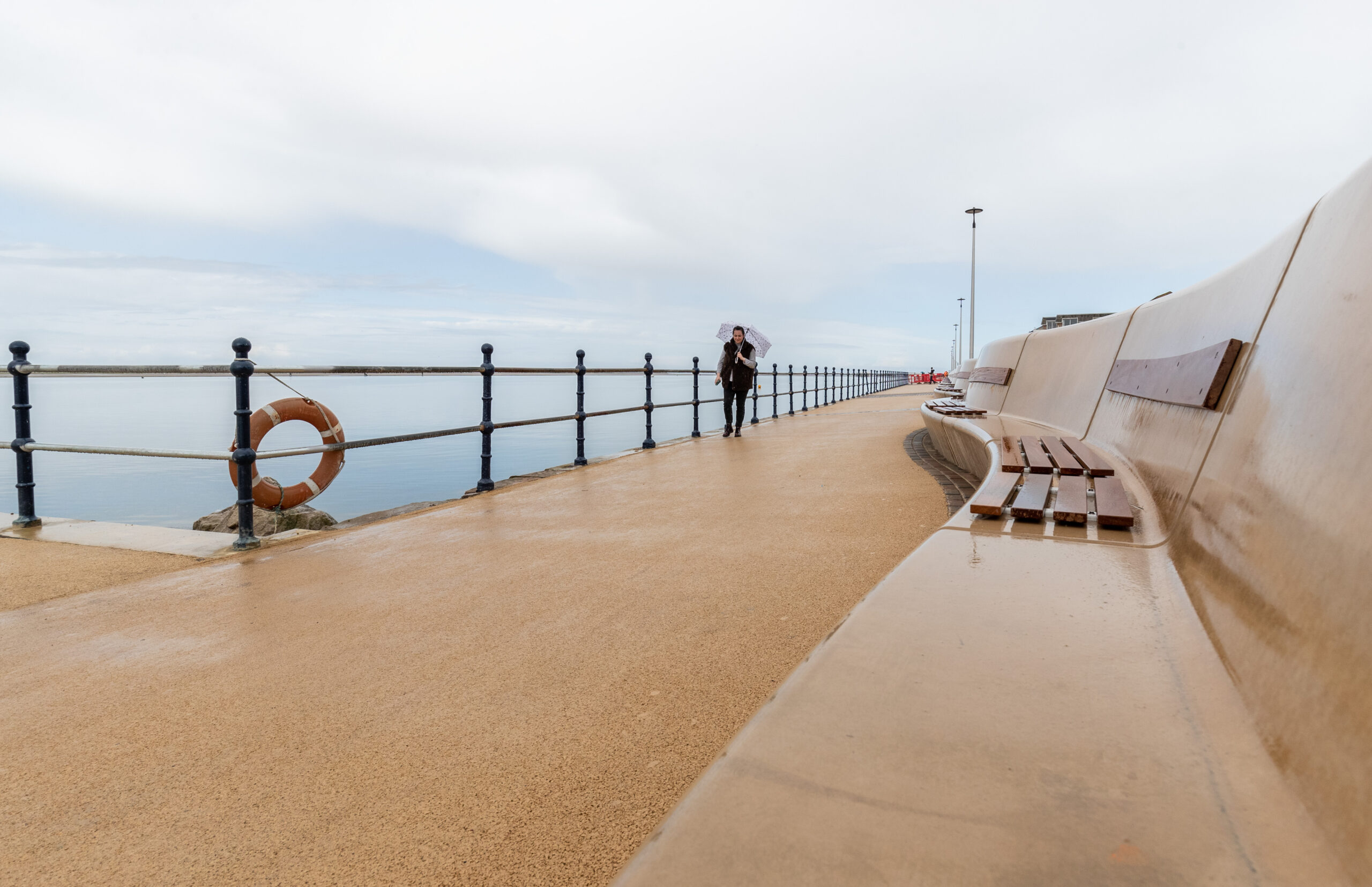
The West Kirby Flood Alleviation Scheme, with its 1.1 km long, 1.2m high wall, will provide residents on South Parade and the surrounding areas with greater protection from potentially catastrophic flooding for many years to come.
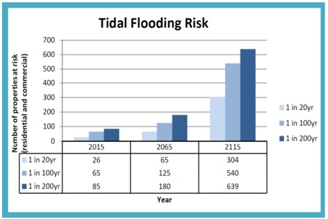
Since December 2013, there have been more than 20 flood events at West Kirby with four considered significant. With sea levels rising, this risk is only going to increase and the scheme will protect 70 properties at risk of flooding now from extreme tidal events and give more than 500 properties improved protection over the next century.

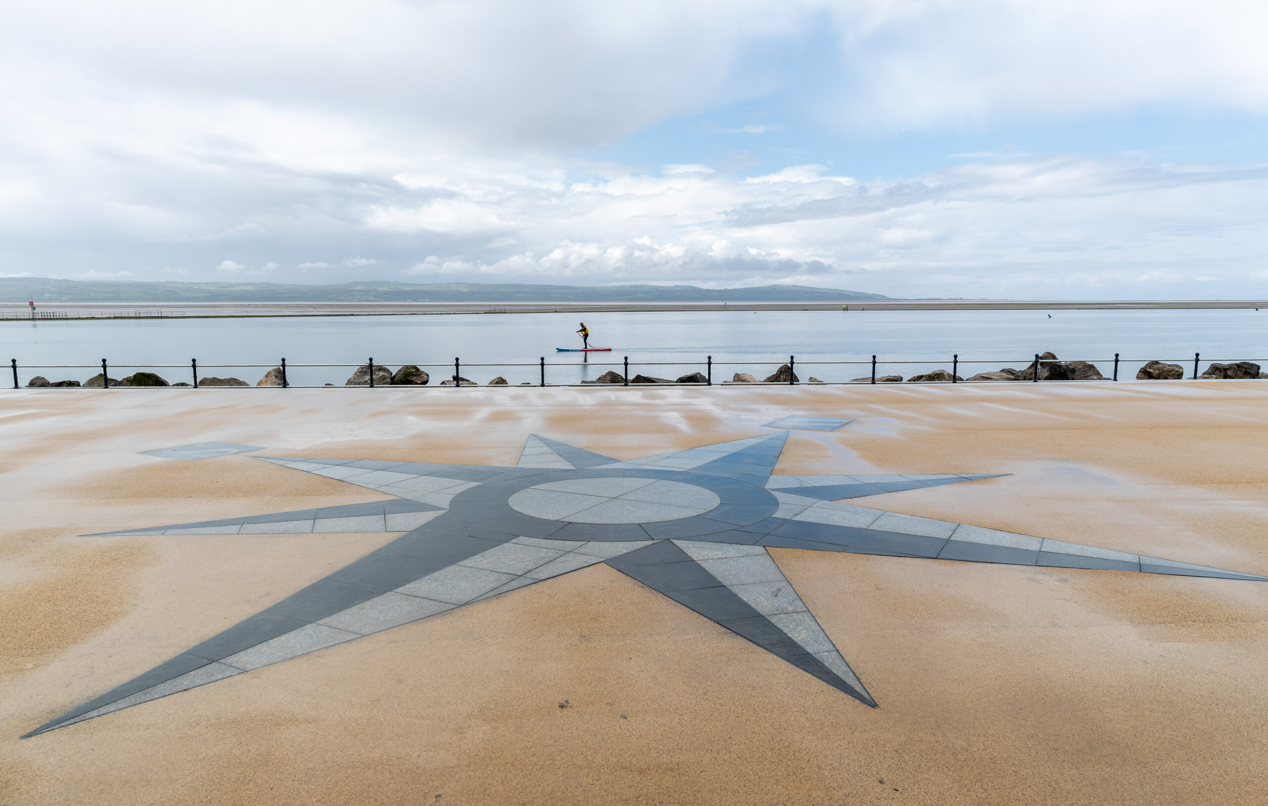
West Kirby is a town located at the north western extremity of the Wirral peninsula. Its waterfront centres on 1km of promenade (South Parade Road and its wide footpath), with views across the Dee estuary towards Wales and the Marine Lake, which attracts various water sports use.
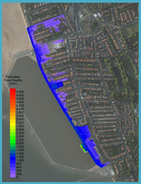
Development along the waterfront is mainly residential, interspersed with other property types normally associated with seaside towns. A short distance inland (100m) and slightly elevated from the promenade is one of the main shopping streets in West Kirby (Banks Road). The extent of potential tidal flood risk extends between South Parade and Banks Road.
Extensive sand and mudflats lie seaward of the promenade and the Marine Lake. This offers valuable habitat and is designated for various reasons, including as a Special Area of Conservation, Special Protection Area and Ramsar. Hilbre Island is located 1 km across the sand flats off West Kirby. It is valued for its nature interests and landscape appeal and is a popular destination for walkers.
The risk of tidal flooding at West Kirby occurs when extreme tidal levels are combined with large waves generated by high winds. This presents a threat to people, property and local infrastructure.
Between November 2013 and March 2014, the North West of England experienced its worst storm conditions in a generation. In December 2013, tidal flooding along South Parade caused damage to seawalls and property boundary walls. Several properties also suffered internal flooding. This was followed by further high tide and surge conditions coupled with strong winds at the beginning of January and February 2014.
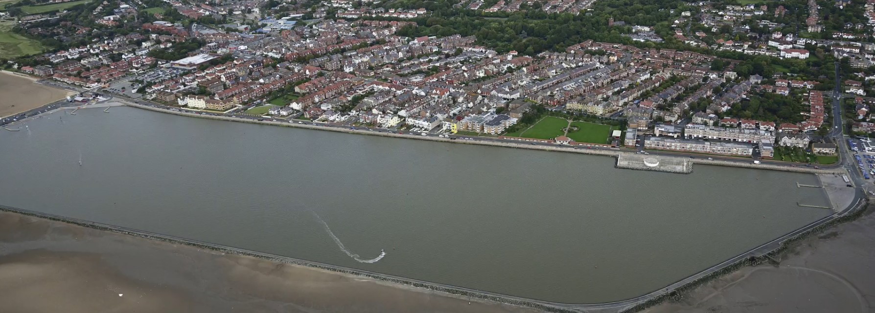
Aerial view of West Kirby