The Environment Agency is delivering a proposed Flood Risk Management Scheme to better protect homes and businesses from flooding in the Kent catchment, and improve the local environment and community amenities. Kendal is the first area to be delivered, followed by Burneside, Staveley, and Ings, and upstream measures including flood storage. In addition, Natural Flood Management measures are being integrated into the plans which aim to slow the flow of water and provide wider environmental benefits across the catchment.
Please scroll down for further information.
The Kent Catchment Partnership
The River Kent is a beautiful, highly designated river; it is a Site of Special Scientific Interest at a national level and a Special Area of Conservation at an international level. The reasons for its designations are in recognition of the highly valued habitat and species which it supports.
The Kent Catchment Partnership (KCP) is a group of enthusiastic volunteers who first got together in 2015. The group volunteers throughout the catchment to engage with local communities and further recognition that the river as something truly special. They also address a number of issues and pressures which threaten the health of this system including invasive non-native species, barriers to fish migration, poor land management, a lack of riparian habitat and pollution from diffuse sources (e.g. septic tanks and agriculture). As you can see the pressures are wide ranging, so there’s plenty to do!
In light of this the Kent Catchment Partnership alongside South Cumbria Rivers Trust are working to develop a catchment wide project to which the community are central. It will celebrate this beautiful river, engaging people in a range of different aspects including heritage and arts. Alongside this a range of habitat improvement works will be developed and undertaken to further enhance the catchment. More information please visit South Cumbria Riverts Trust and the Becks to Bay (South Cumbria’s Catchment Partnership) webpages.
GPS pole, topographical survey equipment
An extensive programme of ground investigations (GI) have been, and continue to be undertaken throughout Burneside, Staveley, and Ings as a fundamental part of understanding and informing the flood risk management scheme design for the villages and upstream measures including flood storage. Once these are finished, the Environment Agency will have carried out over 200 exploratory locations to better understand ground conditions, flow routes and important underground features and utility services.
The Environment Agency are continuing to monitor ground conditions and have a number of monitoring devices installed in key locations. Surveyors will continue to re-visit these devices periodically to gather information, such as seasonal changes in the water table.
Environmental, ecological and aquatic surveys continue to be carried out for a number of different species and habitats to help inform the design of the Flood Risk Management Scheme. These surveys look at, for example otters, badgers, bats, aquatic and river habitats, and are vital in helping the Environment Agency to understand wildlife present in catchment and the best ways to try and avoid impacts from their scheme. Results from all the surveys will feed into the Environmental Impact Assessment (EIA) and Habitats Regulations Assessment (HRS).
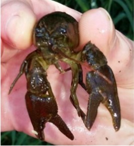
White Clawed Crayfish

Image of Bat (Common Pipistrell)

Image of Badger

River restoration
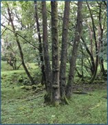
Tree Survey
An Environment Agency team competed a number of walkover surveys to identify and record ‘arboricultural’ features. This identified woodlands, tree groups, or individual trees of significance that need to be considered as part of the Environment Agency’s proposals and could result in, for example, root protection zones or potential tree loss. Information gathered will inform the design of the flood defences and any mitigation that is required.
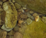
Bedrock Material
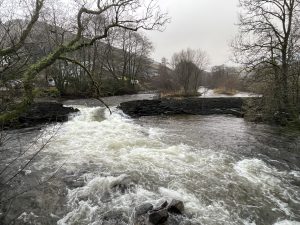
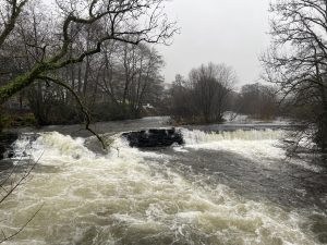
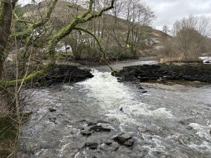
Geomorphological surveys help The Environment Agency to understand the processes that cause the different physical features across the catchment. A walkover survey through all of the watercourses is undertaken to characterise and map different areas of geomorphological forms and processes, allowing the Environment Agency to measure the size of the river bed material. This helps to identify areas of erosion, deposition, pools and riffles, and understand how stable the river bed is. The Environment Agency can then better predict how the river will react to any interventions resulting from their scheme.
A GI survey is a means of determining the condition of the ground. Investigations focus specifically on intrusive works such as trial pits and boreholes and so differ from the wider investigation surveys which the Environment Agency have already undertaken that tend to be non-intrusive in nature such as visual and environmental surveys. The ground investigations carried out will help determine:-
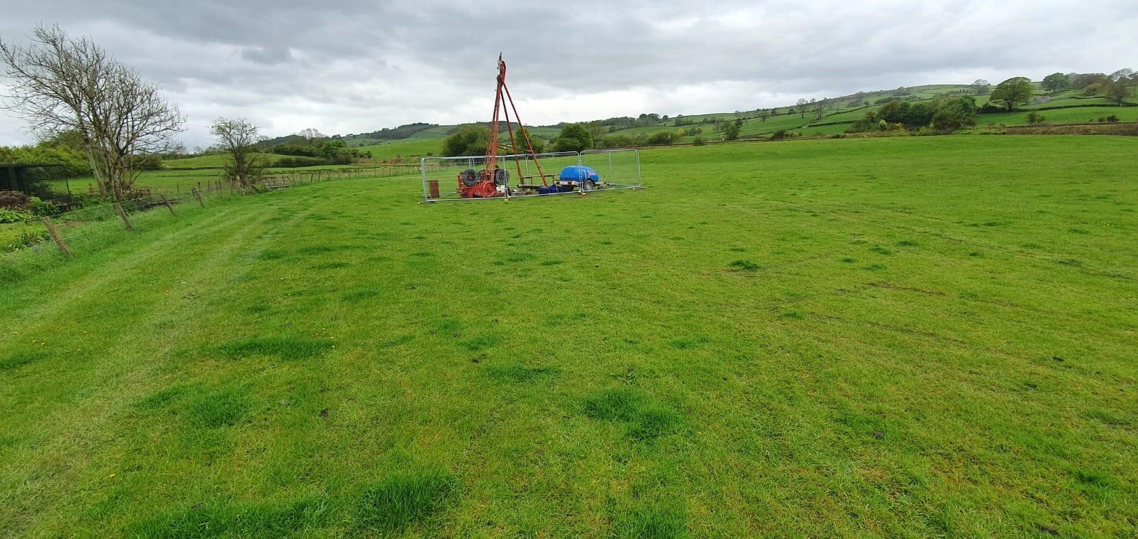
Ground Investigation Survey
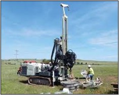
Sonic drilling rig
The Environment Agency have, and will continue to carry out a number of surveys on key structures e.g. walls and bridges throughout the Kent Catchment to identify the structural integrity of existing infrastructure which may form part of, or be impacted by their flood risk management scheme. They focus specifically on intrusive works such as the drilling of ‘structural cores’, the primary purpose of which is to obtain an undisturbed, intact sample of the wall material.
This will help determine:
In this way they differ from the wider non-intrusive investigation surveys which the Environment Agency have already undertaken such as visual and environmental surveys.
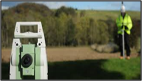
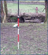
Topographic survey, Kentmere
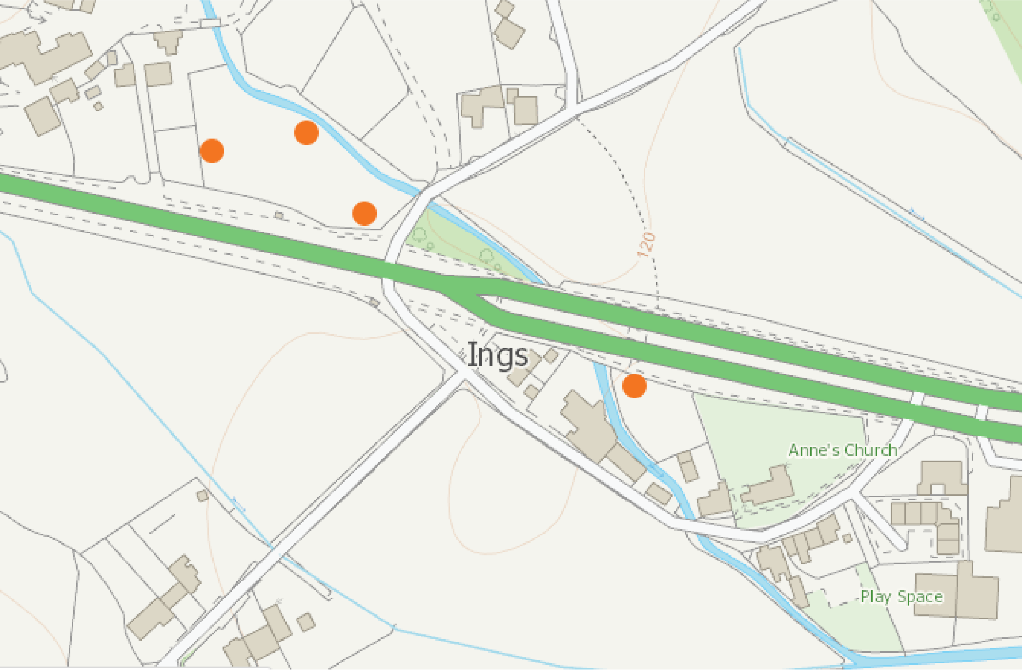
Listening to local knowledge and input from The Environment Agency’s collaboration with the Kentmere Flood Liaison Group, the Environment Agency have completed a supplementary topographical survey in the upstream areas of the Kentmere valley. A survey team used GPS equipment to take a cross-sectional survey to check the different slopes and levels of the land. This identified key features such as water courses, trees, walls, public rights of way, bridleways, or service utilities. Data gathered is being used to better understand natural flood controls in the upper catchment.
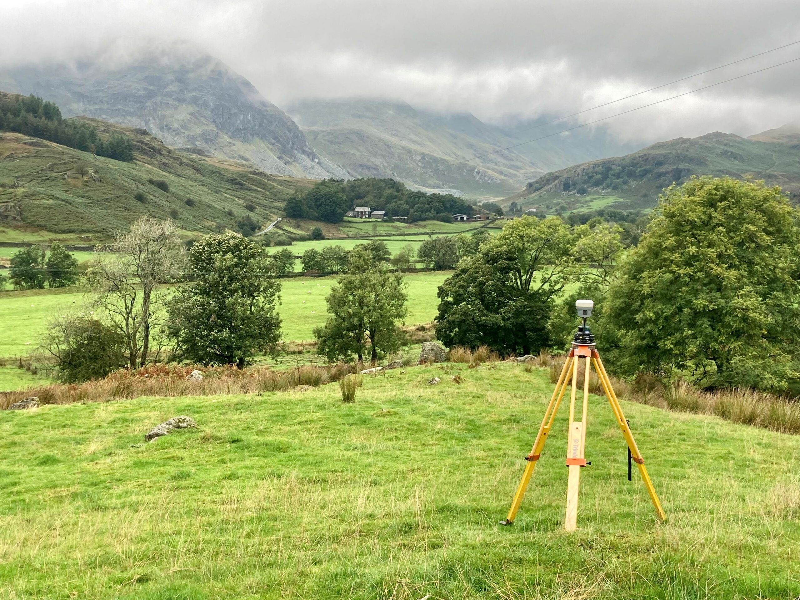
Topographic Survey, Kentmere