Information on this page has been provided by the Environment Agency and was correct at the time of upload. The Flood Hub is not responsible for any information held on this page. For any enquiries, see the Contact section of the page.


Radcliffe and Redvales Flood Risk Management Scheme (FRMS) aims to reduce the flood risk from the River Irwell south of Bury and west of Radcliffe. Through partnership working with Bury Council the scheme aligns with local strategies for the area including the Bury Local Plan and Flood Risk Management Plan.
There is a long history of flooding in the area from the river overtopping its banks. The Boxing Day 2015 event resulted in flood damage to over 700 residential buildings, multiple commercial properties and critical infrastructure such as Bury Wastewater Treatment Works (WwTW) and electricity substations.
The area also experienced flooding during the storm Ciara extent on the weekend 9th February 2020. Properties on Warth Road, Warth Road industrial park and a property on Parkside Close flooded. The flood event also damaged the flood defence construction site compound at Close Park. The Environment Agency’s contractors, BAM Nuttall, worked quickly to construct temporary defences at Morris Street which successfully defended a number of properties from flooding.

The bridge carries many utility services across the river and some of these will need to be diverted or protected before the Environment Agency (EA) commence their works. The EA have been working closely with Electricity North West (ENW) to understand their requirements due to the fragile nature of their cables and identified two major and several minor diversions that need to occur ahead of commencing the works on the flood gate construction. Running concurrently with this scheme is the major upgrade of the existing electricity cables by ENW running the length of Dumers Lane. The EA are working with ENW to complete further enabling works alongside the construction of their major upgrade to reduce disruption to the community and mitigate construction start date delays for the flood gate construction. The EA are in continued communication with ENW to understand their programme and plan to start the construction of the flood gates following completion of their works.
In the meantime, the EA are working with their partners Bury Council to plan and schedule the works, as well as finalising operational procedures for deploying the gates when they would be required. Preparatory vegetation clearance, mostly on the north side of the bridge, was completed in December and further surveying undertaken by their contractor, necessary in advance of mobilising for construction. The works will require road closures and diversions, and theywill seek to minimise duration and impact of these closures on the local community. A Traffic Management Plan has been drafted and shared with Bury Council, and the EA expect to share details of this in their next newsletter.
Currently they are estimating that the works will be carried out in summer 2026, following the completion of ENW’s work and the construction duration is expected to be approximately 7 months.
A visualisation of the gates and their positions on the bridge is shown in figure 1 in the latest newsletter.
The Environment Agency has supplemented the Radcliffe and Redvales scheme through Natural Flood Management (NFM) in the Irwell, Roch and Croal catchments. This is known to have wider benefits than just flood risk, including environmental enhancement, future-proofing against climate change impacts and being a more sustainable option.
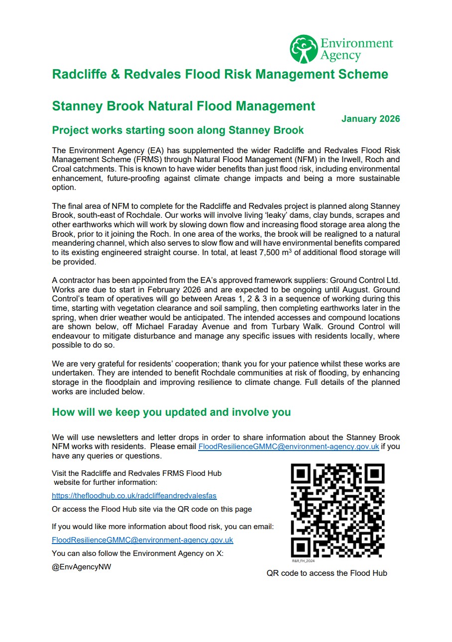
The final area of NFM to complete for the project is planned along Stanney Brook, south-east of Rochdale. The EA’s design comprises living ‘leaky’ dams, clay bunds, scrapes and other earthworks which will work by slowing down flow and increasing flood storage area along the Brook, prior to it joining the Roch. In one area of the works, the brook will be realigned to a natural meandering channel, which also serves to slow flow and will have environmental benefits compared to its existing engineered straight course. In total, at least 7500 m3 of additional flood storage would be provided.
A contractor has been appointed by the EA to deliver the works, and they are due to start in late-February 2026, with completion currently scheduled for August. The works will start with vegetation clearance to prepare access routes, then earthworks will be done later in the spring, when drier weather would be anticipated.
Hardy’s Gate Bridge carries many utility services across the river and some of these will need to be diverted or protected before the Environment Agency (EA) commence the installation of moveable flood gates to both the north and south sides of the bridge.
The EA have been working closely with Electricity North West (ENW) to understand their requirements and have identified two major and several minor diversions that need to occur ahead of commencing the works on the flood gate construction. Running concurrently with this scheme is the major upgrade of the existing electricity cables by ENW running the length of Dumers Lane. The EA are continuing to work with ENW to understand their programme and plan to start the construction of the flood gates following completion of their works.
In the meantime, the EA also continue to work with their partners, Bury Council, to plan and schedule the flood gate construction works, as well as develop operational procedures for deploying the gates when they are required. The works will require road closures and diversions, and they will seek to minimise duration and impact of these closures on the local community. Currently the EA are estimating that the works will be carried out in 2026, following the completion of ENW’s work and the construction duration is anticipated to be 7 months.
The EA has supplemented the Radcliffe and Redvales scheme through Natural Flood Management (NFM) in the Irwell, Roch and Croal catchments. This is known to have wider benefits than just flood risk, including environmental enhancement, future-proofing against climate change impacts and being a more sustainable option.
The final area of NFM to complete for the project is planned along Stanney Brook, south-east of Rochdale. The EA’s design comprises living ‘leaky’ dams, clay bunds, scrapes and other earthworks, which will work by slowing down flow and increasing flood storage area along the Brook, prior to it joining the Roch. In total, at least 7,500 m3 of additional flood storage would be provided.
This part of the project is being priced by the EA’s framework contractors, in order to select a preferred supplier. It is currently intended to deliver the work on-site prior to spring 2026.
The primary source of flood risk is fluvial flooding from the River Irwell with a 10% chance of it occurring in any one year. Surface water run-off, artificial drainage systems, reservoirs and a disused canal are also potential sources of flooding in what is a heavily urbanised part of the Irwell catchment. A partnership has been agreed with United Utilities (UU) to address the surface water and drainage issues in the area.
There are a number of different flooding locations along the Project, from upstream at Lower Hinds to Close Park:
The scheme defences have been designed with a 100 year design life and will provide protection against a flood with a 1% chance of occurring in any one year, taking into account predicted climate change increases. The envisaged scheme will reduce flood risk to 1,087 properties currently at risk delivering Present Value benefits of £323.8M.
The scheme is being delivered in three phases:
Phase 1 and 2 of the scheme were delivered as a joint venture for BMMJV with design being delivered by Mott MacDonald and construction delivered by BAM Nuttall.
Phase 3 is being delivered by A.E.Yates.
During the initial detailed design stage of the Radcliffe and Redvales scheme in 2017, a risk was identified that the works had the potential to increase river flows downstream during the worst-case rainfall events.
The original aim to reduce the potential, increased risk of flooding from the scheme, was to construct a flood storage area at Swan Lodge, in Radcliffe. However, it became clear through design development that constructing Swan Lodge storage area wasn’t a viable option. The EA then began to look into other options which included Natural Flood Management (NFM) in the Irwell, Roch and Croal catchments. This is known to have wider benefits than just flood risk, including environmental enhancement, future proof against climate change impacts and being a more sustainable option.
The result of this investigation found there has been some Natural Flood Management already carried out in the catchments which does alleviate some potential increased flood risk posed by the scheme. Examples of some of the Natural Flood Management works that has been carried out in the catchments include at Smithills Woodland Trust and at Holcombe Moor. This Natural Flood Management work has been carried out both by the EA and third parties.
The EA are completing more Natural Flood Management measures on Stanney Brook in the Roch catchment; these are being delivered as part of phase 3. The construction of these would further mitigate the impacts of heavy rainfall and benefit the local communities. For further information on Natural Flood Management please see below the following link: https://thefloodhub.co.uk/nfm/ .

This phase consisted of two components:
Other aspects of this phase included removal of abandoned pipe bridges crossing the River Irwell in two locations on Dumers Lane.

Image taken of the North Wall at Close Park.

Image taken at Close Park
This phase consisted of six components:


See ‘What’s happening now?’ section and the latest newsletter for more information.
The EA secured approval for a business case recommending a scheme to reduce the risk of flooding to the Radcliffe and Redvales communities in May 2019. The project costs are part funded by Grant in Aid from Government (£24.3M). External contributions have been secured from Government Booster Funding (£7M), Local Levy (£3M) and public contributions (£2M pledged by Bury Council).
Click here to download the Radcliffe and Redvales Flood Risk Management Scheme newsletter about the Stanney Brook Natural Flood Management (NFM) work.
Phase 1 – completed in 2021
Phase 2 – completed in 2024
Phase 3 –


The Environment Agency have changed the existing Flood Warning Areas which cover the River Irwell at Radcliffe and Redvales. They have amended the three existing Flood Warning Areas to reflect their latest understanding of flood risk in the area as the flood risk management scheme nears completion.
An email address has been set up specifically for the Radcliffe and Redvales Flood Risk Management project that can be used for any queries or comments in regards to this project: [email protected].
If you are outside the flood area and would like to be kept up to date with the Radcliffe and Redvales Flood Risk Management Scheme via email, please email [email protected] to be added to the mailing list. They aim to send regular updates as well as quarterly newsletters, and information on when they are holding community drop-ins.
If you would like more information about flood risk, you can email: [email protected].
Visit Bury Council’s website for flood risk information: www.bury.gov.uk/flooding-advice.
You can also follow the Environment Agency on X: @EnvAgencyNW


