Active Planning Applications
Lakeland Distribution Centre to Dale Farm, Proposed Flood Wall and Embankment (Reach A), Pre-Planning submission Engagement Pack
The Environment Agency (EA) were granted planning permission in June 2019 to undertake flood risk management works to protect Westmorland Business Park and Lakeland Distribution Centre (known as Reach A).
Informed by updated information, the EA submitted a revised planning application to Westmorland and Furness Council in Winter 2025. This application will improve the original consented design of the proposed flood wall and embankment.
The pre-planning engagement pack summarises the draft planning submission. To view the pre planning engagement pack, please click on the link below.
Engagement pack:
- Click here to download the Lakeland Distribution Centre to Dale Farm Flood Wall and Embankment (Reach A) Pre-Planning submission Engagement Pack
Alternatively, you can also view the pre-planning submission engagement pack, proposed plans and feedback by visiting the Flood Scheme Information Hub on Tuesday or Thursday, 10.00am to 4:30pm (located at the back of the Lidl car park, Beezon Road, Kendal, Cumbria, LA9 6BW).
A new Planning Application has been submitted to Westmorland and Furness Council for a proposed extension to the existing flood embankment which will provide improved flood protection to homes and businesses from Young Spring watercourse. The planning application is currently being determined by Westmorland and Furness Planning department.
This pack of information summarises the proposed flood embankment design.
- Click here to download the Young Spring, Helsington Mills Planning Application Engagement Pack.
- Click here to visit the Westmorland and Furness Planning Portal for further supporting information.
Click here to return to the Kendal Flood Risk Management Scheme homepage
Approved Planning Applications
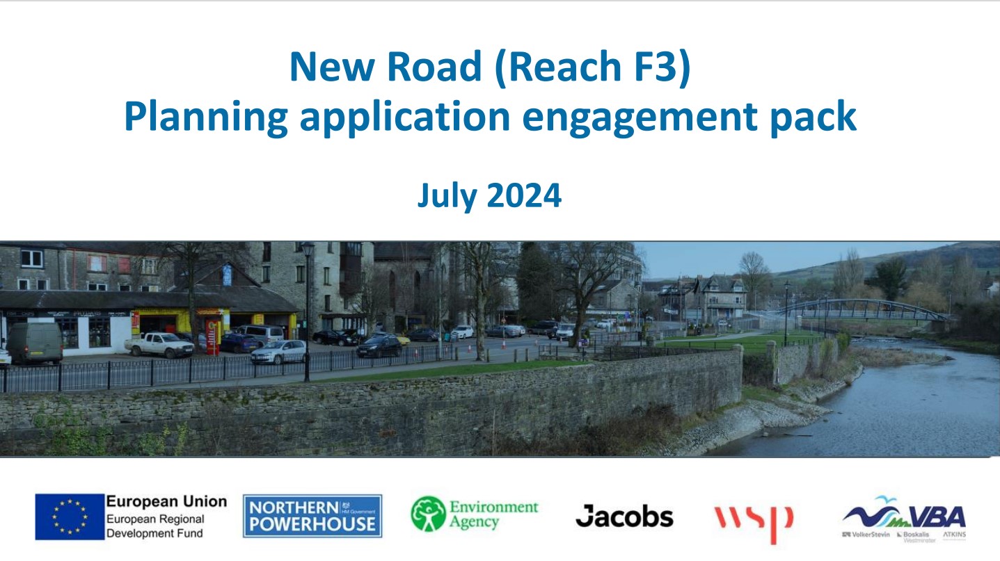
A new Planning Application has been submitted to Westmorland and Furness Council following a number of design improvements since the original planning application was approved in June 2019. The planning application is currently being determined by Westmorland and Furness Planning department.
This pack of information summarises the options appraisal and subsequent design decisions for a road side flood wall and integrated flood gates.
Click here to download the New Road Planning Application Engagement Pack
Click here to visit the Westmorland and Furness Planning Portal for further supporting information.
As of April 2023, South Lakeland District Council is now operating within West Morland and Furness Council.
A section of the proposed works at New Road are located within New Road Common. An application for approval for works on common land was made to the Planning Inspectorate under Section 38 of the Commons Act 2006 on the 10 January 2023. The application documents are available for download below. A paper copy of the application form and accompanying documents can also be inspected at South Lakeland District Council Offices, South Lakeland House, Lowther Street, Kendal, LA9 4DQ during normal office hours. The application will be available for comment until 14 FEBRUARY 2023. Any representations should be sent in writing ON or BEFORE that date to: The Planning Inspectorate, Commons Team 3A, Temple Quay House, Temple Quay, Bristol, BS1 6PN or [email protected]. Letters sent to the Planning Inspectorate cannot be treated as confidential. They will be copied to the applicant and possibly other interested parties. To find out more about how the Planning Inspectorate uses and manages personal data, please go to the privacy notice (https://www.gov.uk/government/publications/planning-inspectorate-privacy-notices).
Downloads
Introduction
Planning permission was granted to the Environment Agency in June 2019 to deliver linear flood defences throughout Kendal which included an outline scheme design for Gooseholme Pumping Station and associated defences. Following further design based on technical delivery, functionality, size, and position of the new pumping station, as well as improvements to the landscaping of the area, these significant changes to the original outline design required a new planning application. Following significant detailed design, environmental assessment, and pre application discussions with the local community, statutory consultees, other stakeholders and the local planning authority, the Environment Agency submitted a full planning application to South Lakeland District Council on Friday 15 July 2022 for design changes to the approved Kendal scheme to include the – construction of a new pumping station including underground infrastructure, demolition of existing kiosk, erection of motor control centre and electricity substation, linear defences in reach F4, new outfall to the River Kent and new hardstanding and associated landscaping areas incorporating sustainable drainage on land adjacent to the River Kent at Stock Beck and Gooseholme Park (Reaches F1 and F4).
The application has now been validated by South Lakeland District Council and will be determined in accordance with statutory timescales. Feedback to South Lakeland District Council is welcomed on the planning submission as part of the formal planning permission consultation period. For information on the application visit the South Lakeland District Council website here and search for planning application SL/2022/0668.
Common Land Application
A section of the proposed works at Stock Beck are located within Gooseholme Common. An application for approval for works on common land was made to the Planning Inspectorate under Section 38 of the Commons Act 2006 on the 1 April 2022. The period for representations on the submitted application has now closed. The Planning Inspectorate are now considering any representations received, the Environment Agency response to those representations and will determine the application in due course.
Visualisations
1. Stock Beck Pumping Station and Gooseholme linear defences – Red Line Boundary
2. Stock Beck Pumping Station and linear defences – Visualisation A
3. Stock Beck Pumping Station and linear defences – Visualisation B
4. Stock Beck Pumping Station and linear defences – Visualisation C
5. Stock beck Pumping station and linear defences – Visualisation D
Feedback Form
This consultation is now closed.
How the Environment Agency will use your data
The information you are submitting via The Flood Hub will be passed directly onto the Environment Agency and will not be used by The Flood Hub to contact you.
The Environment Agency may use any information supplied in the Feedback Form to inform the Planning Application. The Environment Agency will not share your details with any other third party without your explicit consent unless required to by law.
The Environment Agency is the data controller for the personal data you provide. For further information on how they deal with your personal data and how to exercise your rights please see our Personal Information Charter or contact us for further details at [email protected].